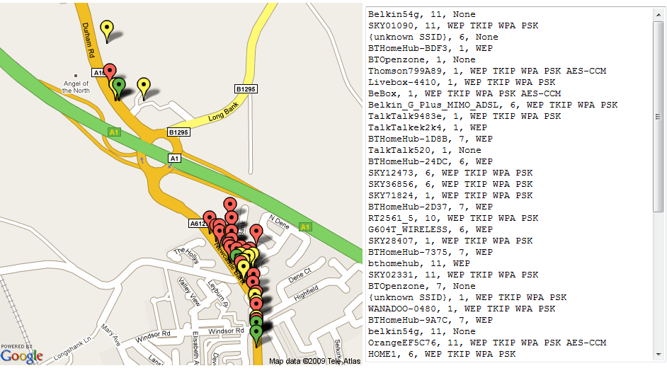
I’ve spent the day adding some additional functionality to my GPS mapping proof of concept (original here).
The second release, kismet2gmapstatic-0_2.py, changes the scripts output to wrap the Google maps API call in a self contained HTML page, and contains multiple map images to mitigate the URL length limit.
The third release, kismet2gmapstatic-0_3.py, builds on the HTML framework and includes additional information on each mapped access point: SSID, channel and available encryption options. This will likely be the final release of kismet2gmapstatic in this form, the code has grown organically without any real planning and as a result is a hideous mess, but as a PoC I feel it has served it’s purpose. I still have several ideas and additional functionality that I would like to implement, so watch this space for similar tools in the future.
— Andrew Waite
Leave a comment